
Until now, Apple Maps in the Netherlands used maps made by Apple based on data from TomTom, among others. However, in recent years, the company has been sending its own cars and planes through the Netherlands and surrounding countries, which have gathered new information using cameras and sensors. This results in a much more detailed map, which is rolling out today to all Apple Netherlands users.
The new maps do not require updating: they are updated on Apple’s side. That’s a direct advantage of the new maps: they can be updated more quickly, for example if a situation changes. Maps also offer more detail. Green areas are easier to identify and have more differences, for example between parks, forests, golf courses and sports complexes. Water is also drawn more accurately, with detail on piers, shorelines, rivers and piers.
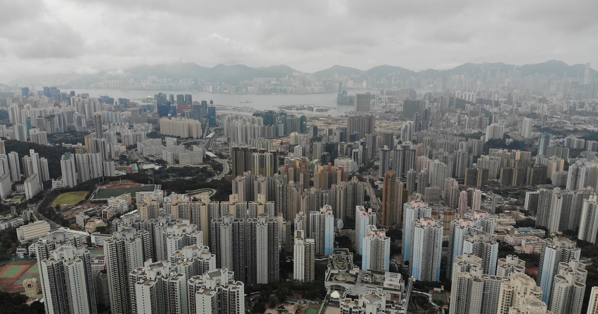
3D models and 360 degree photos
Cities also have more detail than before. For example, shopping areas are now colored yellow, so they can be clearly distinguished from other buildings on the map. When the map is viewed in 3D, each building can be seen individually. Apple has recreated dozens of buildings in detail in 3D, such as the NEMO Science Museum in Amsterdam and Muiderslot in Muiden. According to Apple, this is not only beautiful, but also helps with orientation on the map.
Apple has now also mapped all the roads in the Netherlands with photos in 360 degrees. That function is called ‘Browse’ and is similar to Google Street view. However, Apple features somewhat sharper images and smoother transitions. Wherever the function is available, there will now be a binoculars button at the bottom left of the screen.
Car navigation is more detailed
With the introduction of new maps, in-car navigation is also more detailed. Users see speed limits, information that Apple Maps did not have in the Netherlands until recently. As Apple has captured more details, voice assistants can now refer to them while driving.
Instead of ‘Turn right in 200 meters’, the navigation will say ‘Turn right at the next traffic light’, because the app knows there is a traffic light there. Arrivals are also taken into account, so users are not herded to the edge of a shopping area or parking lot, but actually get to their destination.
Cycling maps will follow later
Bike navigation is still lacking in the Netherlands, even with this new map addition. However, this update lays the groundwork for such a cycling map, which Apple says is high on its list of future innovations. However, Apple Maps can now factor in charging stations on the route for certain electric cars.
Updated maps are available for the US, Canada, UK, Germany, France and Monaco, among others. Today, five countries were added: Netherlands, Belgium, Luxembourg, Liechtenstein and Switzerland.

“Coffee trailblazer. Analyst. General music geek. Bacon maven. Devoted organizer. Incurable internet ninja. Entrepreneur.”